

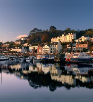
Many would say that exploring on a bike is the most enjoyable and immersive way to experience a destination. There’s certainly nothing to block out the scent of the gorse, the sound of seabirds or the crash of the waves as you follow your way around Jersey’s coastal roads. With a network of 15 mph ‘Green Lanes’ through the island’s countryside and miles of bicycle-friendly routes, with plenty of routes for a foodie, a cycle ride is the perfect way to explore our unique island. With no passports required if you’re travelling from the UK, Jersey really is the perfect hassle-free two wheel escape.
Why cycle in Jersey?
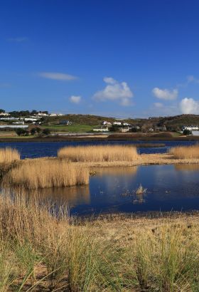
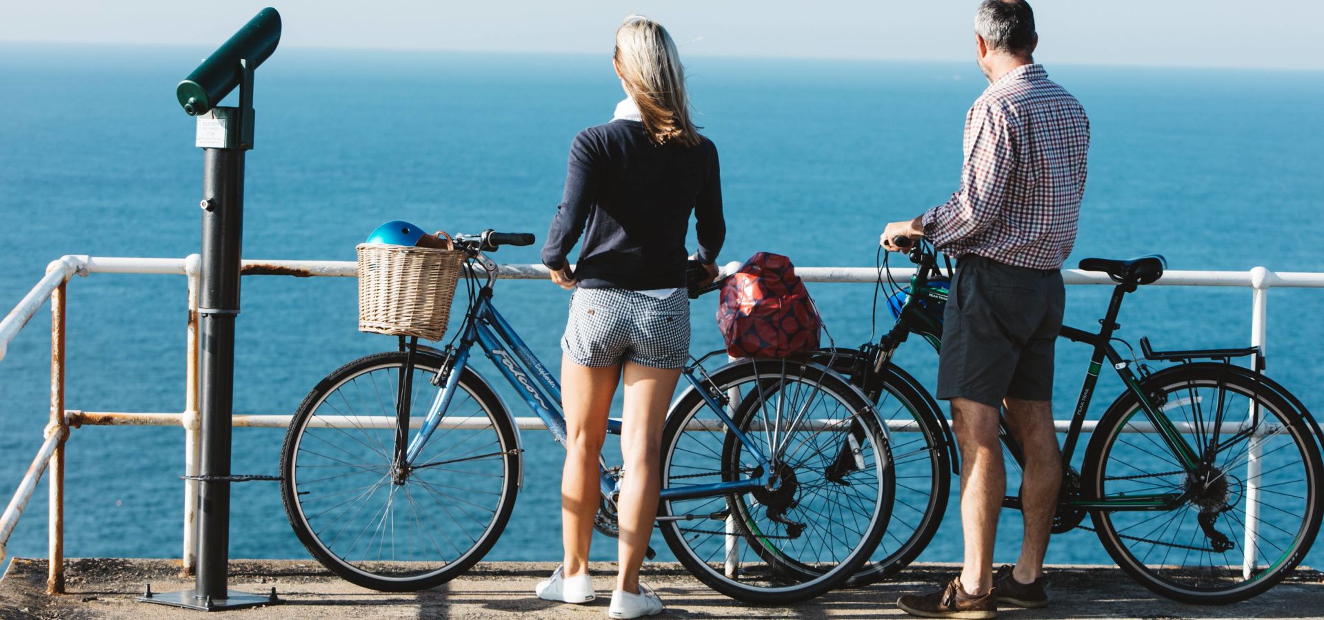
We may be small, but we pack many diverse, beautiful and challenging cycle routes into our nine miles by five. Warm up with gentle spins along sandy seascapes or tackle a pulse-raising hill climb to Jersey’s north coast – we have tracks for all fitness levels. Find your freedom on Jersey’s lanes and roads.
Jersey's signposted cycle network.
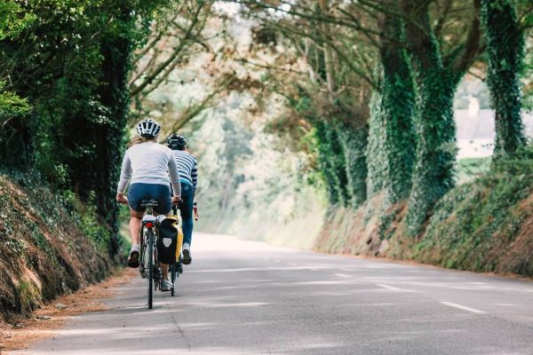
Our many cycle routes are clearly marked and take in miles of rich countryside, coastal tracks and Green Lanes, where life slows down to a gentle 15mph. Explore the island with our downloadable cycle network guide and journey through cycle routes that cross farm, field and coast and lead you to some of the best views in Jersey. Among the stunning cycle routes, you’ll come across plenty of cycle racks that you can use free of charge.
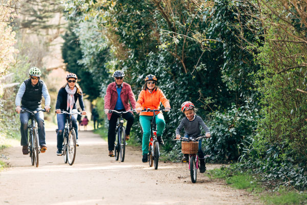
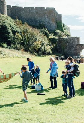
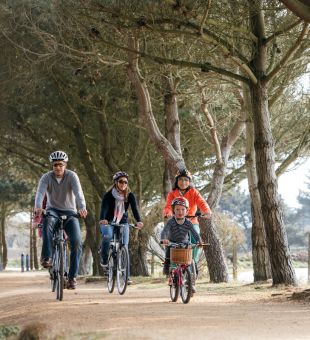
Family friendly cycle routes.
Want to get the whole family out and about enjoying the wonders of two wheeled adventures? No problem! We’ve pulled together a list of routes that are ideal for littler legs.
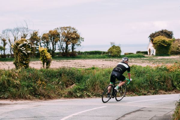
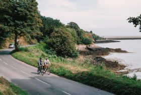
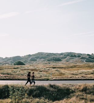
Road cycling.
Advanced cycle routes.
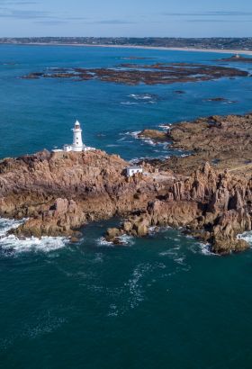
For experienced riders, we have created advanced routes to get your blood pumping. Cycling solo or with a team, all of our advanced routes can be linked up depending on how far you want to go. We’ve included handy pit stops and marked difficulty and gradients, so you can be sure the ride matches your skill level. Test your mettle on our 100km island ride with 1000 metres of elevation if you think you’re legs can take it.
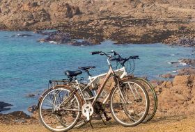
Cycle hire in Jersey.
Whether you are a keen cyclist, or just want to escape the hectic noise of city life, breathe in the fresh sea air and revitalise on two wheels, discover the perfect bike for your cycling getaway to Jersey. You’ll find mountain, leisure, road bikes and E-bikes for those who want a little assistance on their cycling holiday around the island’s lanes.

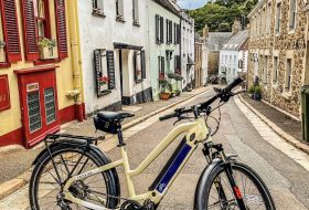
Lakeys Bike Hire
Lakeys Bike Hire Jersey has a great range of bicycles, suitable for the entire family. Our top-quality hybrid and E-Bikes, enable you to explore Jersey's rugged countryside, secluded beaches, and hidden gems. We are conveniently located just a short walk from St Helier's Ferry Terminal and Bus Station.
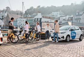
EVie – Electric Shared Mobility
Access our floating electric bikes, daily and weekly rental electric bikes, kid carrying cargo bikes, electric micro cars, normal cars and vans all easily via the EVie app. EVieBikes are available from just £1. Cars by the hour from just £9. Heading out for cocktails, then use our all electric taxi service - Home James.
Evolution Cycles Jersey – Bike Shop & Hire
Explore JERSEY by ⚡️ Electric Bike ⚡️ and let the adventures begin! We are proud to offer the best quality e-bikes on the island to provide you with a wonderful experience that you will remember for years to come. Book online today!
Aaron’s Bike Hire
Bike hire, run by cyclists, for cyclists. We are committed to making sure your cycling is a pleasure, our bikes are in top shape to make certain you have a positive experience exploring our beautiful island. We can offer great advice on routes that make discovering Jersey fun, if you have a special interest we can point you in the right direction.

Brompton Bike Hire
Brompton Bike Hire was created to address the clear need for a cycle hire scheme that is accessible to all, easy and cheap to install as well as being economical to use. Brompton Bike Hire is committed to providing an efficient, flexible, healthy and environmentally friendly solution to travel for the future.
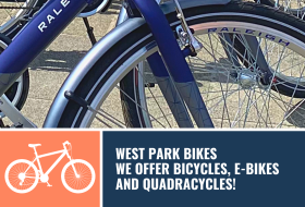
West Park Bikes
Explore Jersey on one of our bicycles or take the strain off and hop on one of our e-bikes. Or perhaps you are looking for something different to do…why not hire one of our 4 wheel “fun bikes” for a unique way to travel along the sea front promenade. Great fun for everyone!
Jersey Bike Hire
We are Jersey's premier bike hire company and we hire out a range of bikes with hybrids, mountain, electric bikes, kids bikes, tandems, tagalongs and more for hire, we offer something for every desire. Perfect for exploring Jersey, hiring a bike is easy and affordable with Jersey Cycle Hire.
Cycling safety.
We take safety seriously. Please respect the rules of the road when cycling in Jersey and make sure you have the required equipment and take necessary precautions, especially when riding at night. Visit the Jersey Road Safety site for the latest advice and local safety regulations. There are many friendly cycle shops in St. Helier who will be happy to help with any last minute items of safety gear once you are on the ground.
More ideas to get your gears going.

Hit the brakes and get your camera out.
Share your cycling snaps with us by tagging them #TheIslandBreak.