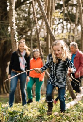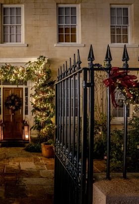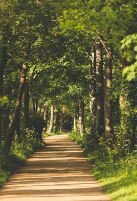
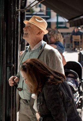

Our island is just nine miles by five, making it easy to fit plenty of fun things to do in Jersey into a weekend or an extended break. Delve into the island’s colourful past or dive into our natural playground. Recharge on a relaxing break or shop ‘til you drop with a dose of retail therapy. Whatever kind of holiday you’re dreaming of, you’ll find it here and it’s all on your doorstep in Jersey. How will you spend your island time?
Discover Jersey’s official guide book…
Explore what’s on in the island and meet some of the people who can help you get out and about in our little sunshine isle.
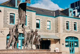
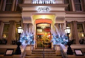
What's hot?
It’s been an exciting year in Jersey, with bucket-loads of new places to stay, play, eat and drink popping up here on our island. Here, we bring you our Jersey ‘hot’ list – so you can discover all the latest and greatest hits next time you visit.
Island break itineraries.
Need a little help deciding how to fill your Jersey holiday? We’ve got you covered. Choose from a collection of itineraries bursting with ideas of what to see and do during your getaway.

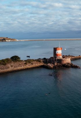
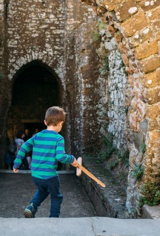
Discover Jersey’s top attractions.
Jersey has a wealth of wonders just waiting to be discovered. Explore the island’s most fascinating sites, including Jersey Zoo, the renowned Jersey War Tunnels, imposing castles and unique museums.
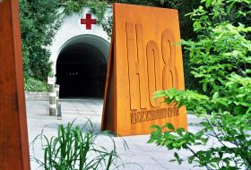
Jersey War Tunnels
Jersey War Tunnels tells the true story of wartime Jersey in a way that no other visitor attraction does. It’s the best place to get a true picture of what life was really like in Jersey during WWII. The exhibition is housed within an underground tunnel complex, built by the Germans using slave labour.
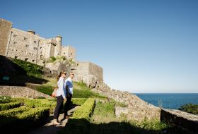
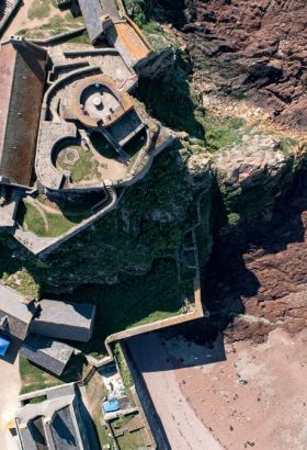
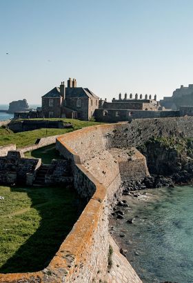
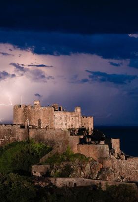
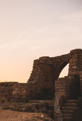
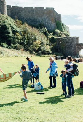
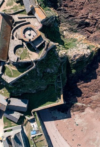
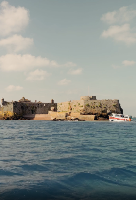
Mont Orgueil Castle
Mont Orgueil Castle, or Gorey Castle, has cast its imposing shadow over the beautiful fishing port of Gorey for more than 800 years. One of the finest examples of a medieval fortress in existence, Mont Orgueil is also a symbol of Jersey’s national identity and independent character.

The Botanic Gardens at Samares Manor
Created in the 1920's by millionaire philanthropist Sir James Knott, The Botanic Gardens offer many distinctive and unique plant collections which thrive in this exceptionally fertile site. Visit The Botanic Gardens to relax, explore, discover, eat, shop and stay. Uncover one of Europe's most outstanding gardens.

La Mare Wine Estate
La Mare Wine Estate is a hidden gem nestled amidst the picturesque parish of St Mary. With free entry and ample parking, the estate extends a warm welcome to all whatever the weather. Join one of their Tour and Tasting Experiences, relax and refuel in the Vineyard Cafe and stock up on Genuine Jersey treats in the Cellar Gift shop.
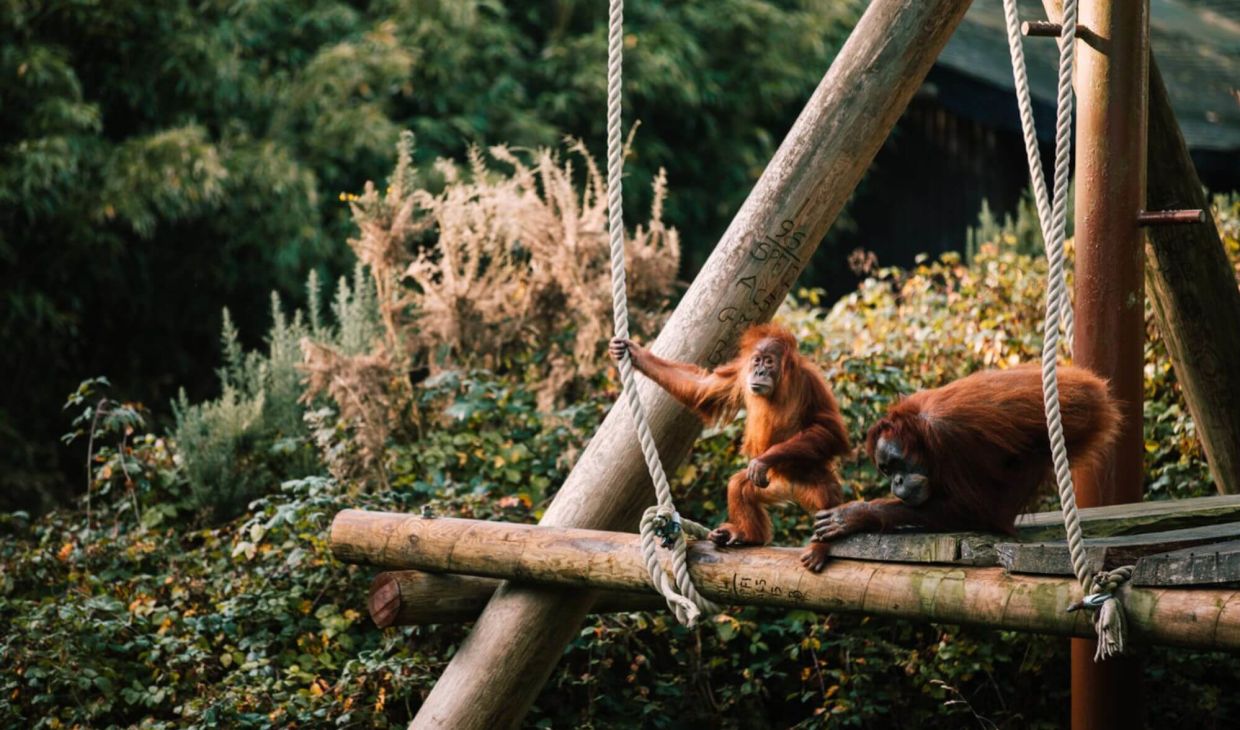
Jersey Zoo.
Whether you’re after fun, tranquillity, knowledge or a place to soak up the sunshine, this stunning 32-acre park with valleys, woodland and some of the world’s rarest animals is the perfect chance to experience ‘the jewel in Jersey’s crown’.
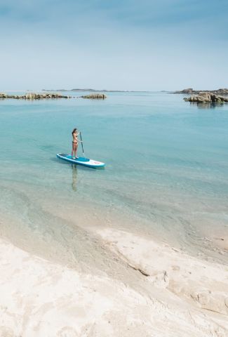
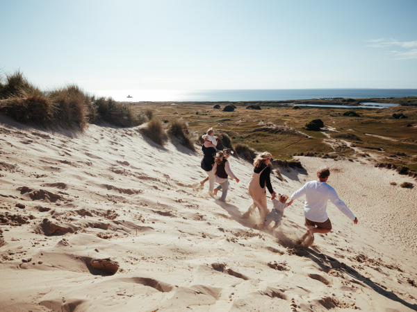
Fill your holiday with activities.
Jersey is bursting with possibilities. So, what are you waiting for?… Get out there and uncover the island break.

Jump Jersey
Jump Jersey is the island’s newest and biggest indoor activity centre, with a trampoline park, climbing walls and soft play area. Complete with laser light show and music, it's home to more high-energy adventure and adrenaline-fuelled action than you could possibly imagine. We've got something for everyone, so come by and get your bounce on!
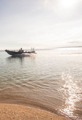
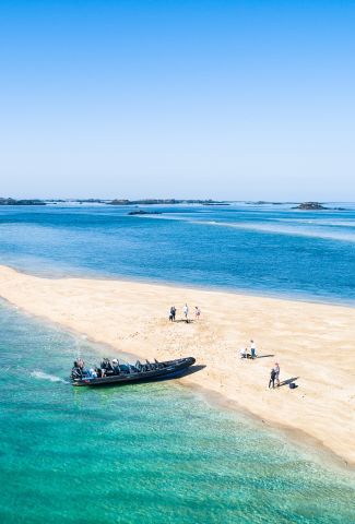
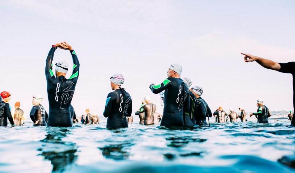
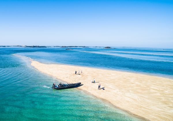
Jersey Seafaris
RIB boat trips around Jersey's beautiful coastline, offshore reefs and surrounding waters. Seafaris include Les Ecréhous, Les Minquiers, north coast and caves, France for lunch or dinner, dolphin spotting and so much more. Suitable for all, whether it's scenery, wildlife or an adrenaline fix, there is a Seafari for you.

Absolute Adventures
Jersey’s leading watersports and adventure centre located in the stunning St. Brelade’s Bay, owned and run by a professional and experienced team who enjoy nothing more than to share their passion for the sea and adventure with visitors and locals alike.
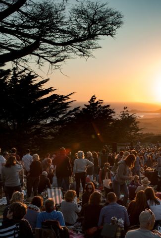
Events in Jersey.
Why not plan your visit around one of the island’s vibrant annual events or festivals? Find out what’s happening while you’re here, come and experience something new or just relax and soak up the island atmosphere, it’s up to you.
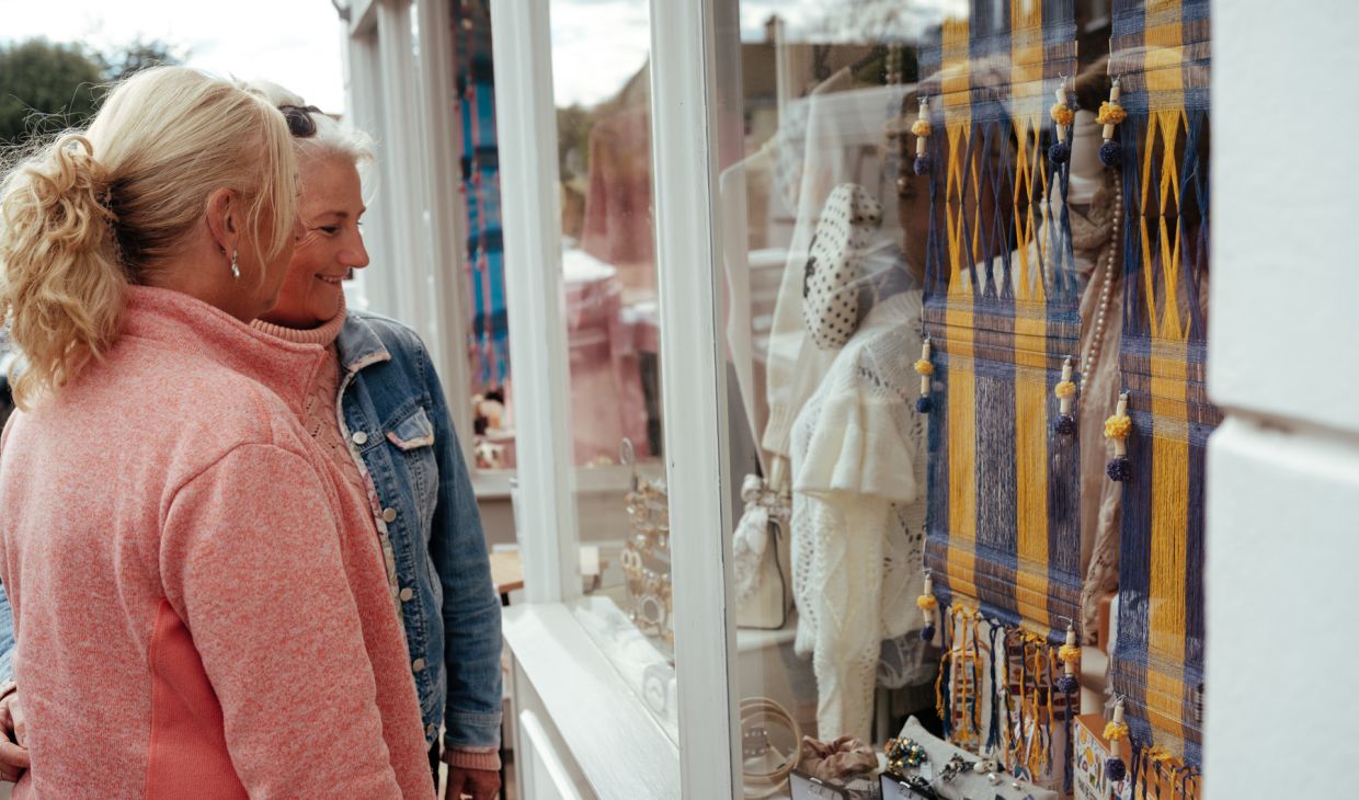
Take a tour of Jersey.
Whatever tickles your fancy, there’s a tour for you. Get to know the island the way the locals do and get the inside scoop.
Bohemia Chef’s Tour: Market & Lunch
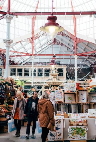
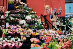
Explore the markets of St. Helier and see the amazing produce that Jersey has to offer in this exclusive tour with one of Bohemia’s kitchen brigade. Starting at Bohemia restaurant your guide will take you on a tour of St. Helier Market and the Fish Market, learn about the amazing produce on offer on our amazing island and sample different goodies along the way.
May 16 2024 ‐ Dec 27 2024

Weekly ‘Wild West’ e-Bike Tours
Here at Lakeys we would love to welcome you onto our wonderful new scenic E-Bike Tours, which have been carefully planned to offer you a fun-filled four hours of adventure, through some of Jersey’s best known spots and hidden treasures. Our ‘Wild West’ tour, will guide you along 50km of cycle paths, shared use tracks, quiet roads and many of Jersey’s own designated ‘Green Lanes’. These tiny little country roads have a 15mph speed limit where cyclists, pedestrians and horses take priority.
May 15 2024 ‐ Oct 25 2024

Geotourist – Liberation Trail
The Channel Islands were the only part of the British Isles to be occupied by German forces in WW2. The five-year occupation came to an end on 09 May 1945, which is now known as Liberation Day - an event still celebrated in Jersey with an annual bank holiday and festivities that mark this momentous occasion.
May 11 2024 ‐ Dec 31 2024
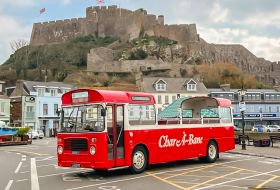
Discover Jersey | Open Top All-Island Tour
Experience Jersey's most iconic locations on our Open Top Island Tours. Explore diverse coastlines across the East and West coast and unearth Jersey's unique history with our audio guided island tours, available in French, German and English Audio.
May 11 2024 ‐ Oct 31 2024

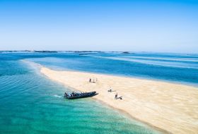
Les Minquiers Seafaris
Paradise on our doorstep, and Jersey Seafaris is your ride there! Les Minquiers are a group of islands and rocks situated 9 miles south of Jersey. The largest island, Maîtresse Île, has a cluster of small cottages used by fishermen and local ‘hut owners’. Jersey has jurisdiction over the islands, which makes the small huts Britain’s most southerly buildings. Les Minquiers is a wetland of international importance (Ramsar site).
May 23 2024 ‐ Sep 06 2024
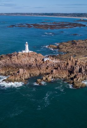
South Coast Seafari
What better way to see Jersey’s south coast right from the doorstep of St. Helier. A typical trip weaves in and out of the southern bays on to the iconic Corbière Lighthouse. Enjoy tales of Jersey’s military past, enjoying the sights such as, castles, forts and hidden beaches along the way. If you get lucky you may even be greeted by our resident dolphins.
May 11 2024 ‐ Jun 03 2024

Battery Moltke Open Days
Welcome to Battery Moltke at Les Landes! We invite you to explore the underground tunnels and bunker complex that make up this impressive site. Knowledgeable members will be on hand to help you with your visit and the CIOS has also progressively opened up a large proportion of the Battery's sealed bunkers behind the Command Bunker which allows the interested visitor to explore them.
Jun 02 2024 ‐ Sep 22 2024
WW2 Bunkers Tours
Join Jersey War Tours and visit WW2 bunkers, which are not usually open to the public. JWT will show you how Jersey was made into an impregnable fortress and help you appreciate what the Third Reich was able to create with slave labour. The tour is also a perfect complement to understanding the history of the D-Day invasion, which took place less than 30 miles away.
May 11 2024 ‐ Dec 31 2024
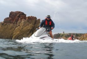
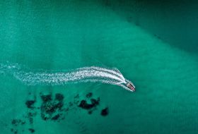
Jet Ski Adventure Tour
Escorted coastal trips by Jet Ski, from St. Aubin going westwards along the coast and returning after just over an hour. All equipment will be provided, bring a camera (preferably waterproof) towel and change of clothes for later. Cost is £130 for one person on one Jet Ski, extra £40 for a passenger. N.B. If you have never been on a jet ski, we offer the 30 minute Jet Ski Experience, with full tuition and on water supervision.
May 11 2024 ‐ Sep 22 2024
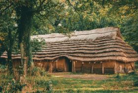
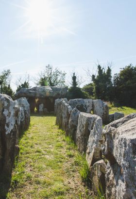
Longhouse Tour and Fire Lighting at La Hougue Bie
Learn about the Neolithic Longhouse at La Hougue Bie and watch one of our volunteers light a fire using authentic techniques. Every Tuesday, a member of the volunteer team lights a fire in the Longhouse using authentic techniques. This adds warmth to the building but also stops any insect infestation in the traditional straw roof. During your visit, the volunteer will also talk about the traditional methods used and the lessons learned during the build.
May 14 2024 ‐ Dec 31 2024
St. Helier Walks
Join our qualified guides every Sunday morning to take a walk through the fascinating history and culture of Jersey. Tours start from and return to Liberation Square. Tickets can be booked in advance through Eventbrite or you can pay on the day (cash only, please).
May 12 2024 ‐ Jul 28 2024
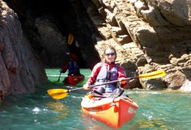
Kayak Tours with Jersey Kayak Adventures
Discover Jersey on a sea kayak tour. Our choice of user-friendly sit-on-top kayaks means you'll quickly master the basics. Accompanied by local staff, we'll keep our eyes open for different seabirds and marine life. Suitable for all ages and abilities. Novices & families are welcome.
May 11 2024 ‐ Nov 01 2024
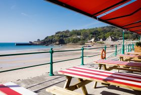
Feed your appetite.
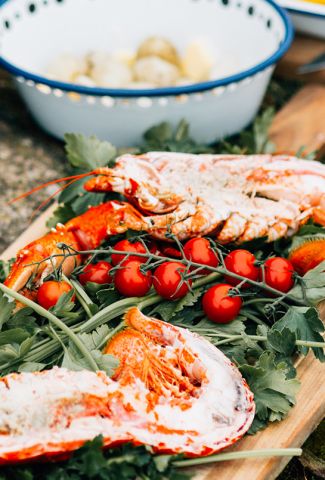
As a small island famous for its food, Jersey’s bursting with flavour from abundant local produce and rich creamy milk, to seafood straight from the island’s clear waters. From beach cafes to chic restaurants, farm stalls to village delis, Jersey is packed with amazing eating experiences to add an authentic local flavour to your stay. Just bring a healthy appetite.
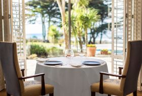
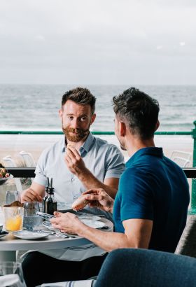
Ocean Restaurant
An exceptional award-winning luxury dining restaurant, showcasing modern British cooking in a stylish setting with the emphasis on the freshest island produce. Working with a network of Jersey producers, the best local ingredients are sourced whenever possible.
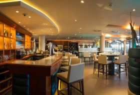
Café Zephyr
Contemporary styling and a buzzing atmosphere. Zephyr offers casual dining using a mix of fusion and pan Asian cuisine combined with local produce. Open for breakfast, lunch and dinner. Fresh and fashionable, Zephyr, which is located within the Royal Yacht Hotel, is the perfect destination, no matter the occasion.
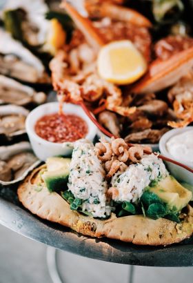
Jersey Crab Shack – St. Brelade
Right on the seafront at St. Brelade's Bay, the flagship Jersey Crab Shack restaurant offers relaxed island-inspired dining with spectacular panoramic views. The small and big plate menu provides flexible ordering with plenty choice, from traditional fish and chips to vegan and vegetarian options.
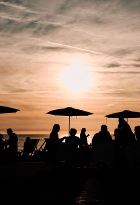
Experience Jersey, island-style.
When it comes to marvellous, memorable experiences, Jersey has it all. Whether you’re a culture vulture, history buff, outdoor explorer, or just like to soak up those relaxed island vibes, you’ll find an experience (or two!) to make your Jersey holiday extra special. Discover just some of the epic island experiences to immerse yourself in, and why not give them a go yourself?


Need some more inspiration?
Not sure where to start or how to fit it all in? Explore all the ways to reconnect, rejuvenate and rebalance in Jersey. You’ll find experiences to warm the soul, energise the mind and invigorate the body.