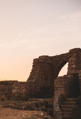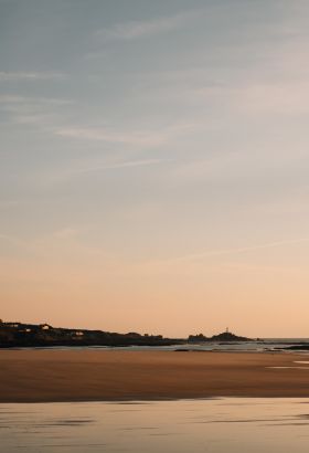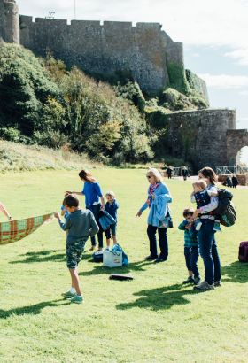
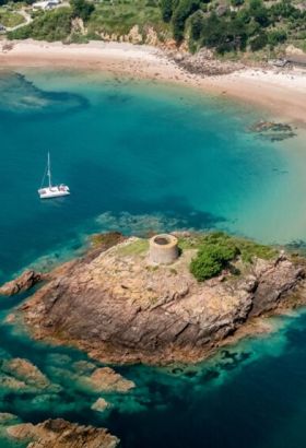
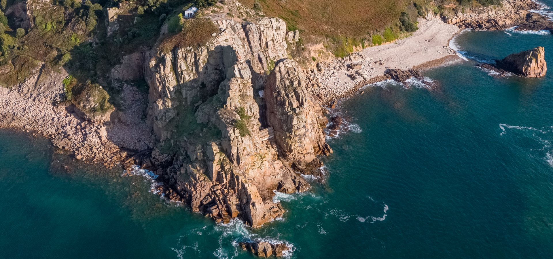
Geoparks are outstanding places around the world that celebrate the links between people and the earth. Jersey, shaped by tide and time, is a strong contender for this special designation because of our island’s exceptional geology and unique cultural heritage which forms the breathtaking surroundings we enjoy every day.
As an ‘Aspiring Geopark’, Jersey is on track to achieving the special designation of a ‘Geopark.’
Explore Jersey’s diverse landscapes, uncover our unique heritage and be inspired by our remarkable seascapes – it’s all waiting to be discovered in our Aspiring Geopark.
Did you know that some of Jersey’s Geosites date back 250,000 years?
Discover these spots around the island that have special significance.
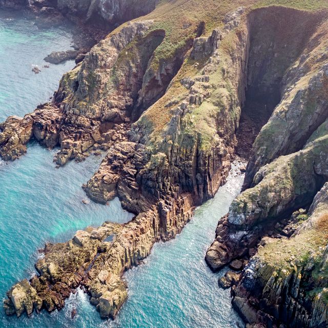
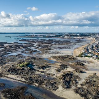
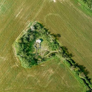
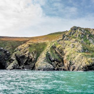
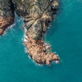

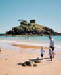
Ways to explore the Aspiring Jersey Geopark.
Our Aspiring Jersey Geopark is made up of a number of geological heritage sites of special scientific significance, rarity or beauty. Just bring an appetite for adventure as you’ll find breathtaking scenery, thrilling history, extraordinary things do to, unique places to stay and outstanding local food and drink, and it’s all within easy reach.

Geowalk: Tales of Fire, Ice and Oceans
Discover how the gigantic movements in the earth’s crust millions of years ago, the Ice ages and the ocean have shaped and continue to influence Jersey today. The beautiful pink granite tells many stories, none the less the seabed and its inhabitants.
Jan 04 2025

Nature, Forest Bathing and Foraging Walks
Join Amanda Bond on slow, mindful wanders getting to know Jersey's countryside and shoreline, off-the-beaten track. Forage for culinary and medicinal plants. Amanda is a certified Nature and Forest Therapy Guide, a Herbalist and Cook. Shinrin-Yoku or Forest Bathing is a practice of connection and sensory relaxation originating in Japan.

Geowalk: Plémont
Join us for a guided Geowalk around Plémont. Explore a beach and headland on this Geowalk involving rock pools and visiting some of the caves in the bay to discover the history of the granite rocks and many intrusions and fault lines which cut through the bay.
Jan 12 2025
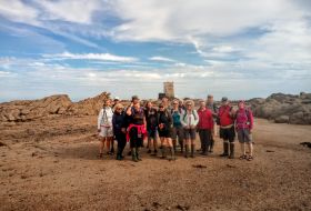
Jersey Walk Adventures
Enter a world where the ocean disappears to the horizon, and we are all visitors. Explore rock pools on a guided walk into Europe's largest rocky inter-tidal zone. Walks to Seymour Tower are also called “moonwalks”. Discover Jersey's wilderness with local guides who have explored this wonderful coast for many years.
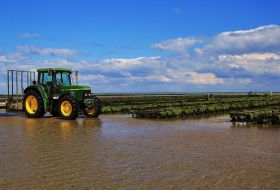
Seymour Oyster Tours
Experience something different. Venture into the depths of Seymour Oyster beds, enjoy the crystal clear waters and experience the wonderful world of oysters. Enjoy a walk in this magical environment with one of Jersey's photographers and learn how we cultivate oysters in a scenic environment on one of the most extensive tidal ranges in the world.
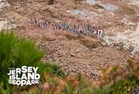
Geowalk: Following the Neanderthals
Join us on an exploration of La Cotte de St Brelade, one of the most important Neanderthal sites in North-west Europe and discover a story of climate change, migration and archaeology.
Feb 01 2025
Explore our otherworldly offshore reefs.
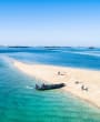
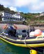
Explore the parts of the Aspiring Geopark that lie offshore. From an exhilarating RIB ride, to a lobster picnic and glass of champagne on a deserted beach to dolphin spotting – there is a Seafari for everyone. Jersey Seafaris, Island RIB Voyages and Nauti Buoy RIBs provide regular boat trips, tours and private charters around the beautiful coastline and offshore islands: Les Écréhous & Les Minquiers, giving you the chance to experience one of the biggest tidal ranges in the world, discover secret sandbanks and hidden wonders around every corner.
Walking.
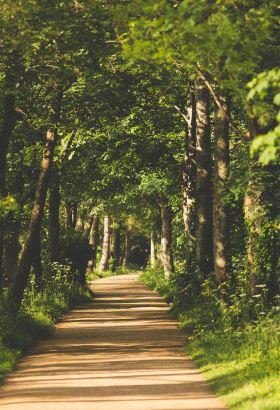
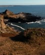
Jersey’s cliff-edged heights and wide sandy bays are best seen on foot, with a breeze to keep you cool. You’ll find an extensive network of footpaths as well as winding country lanes, and breathtaking beaches. Walking is a great way to explore the outdoors allowing us to wander through Jersey’s spectacular landscapes, enjoying this Aspiring Geopark’s natural and built heritage.
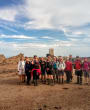
You choose whether you want to explore at your own pace with one of our self-guide routes or join a walking tour. Whatever you decide we can guarantee some breathtaking scenery along the way!
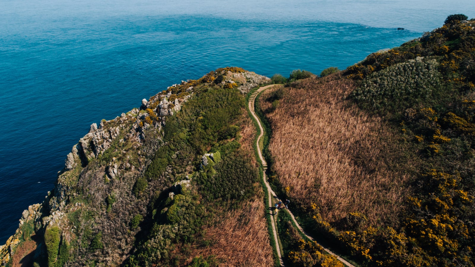
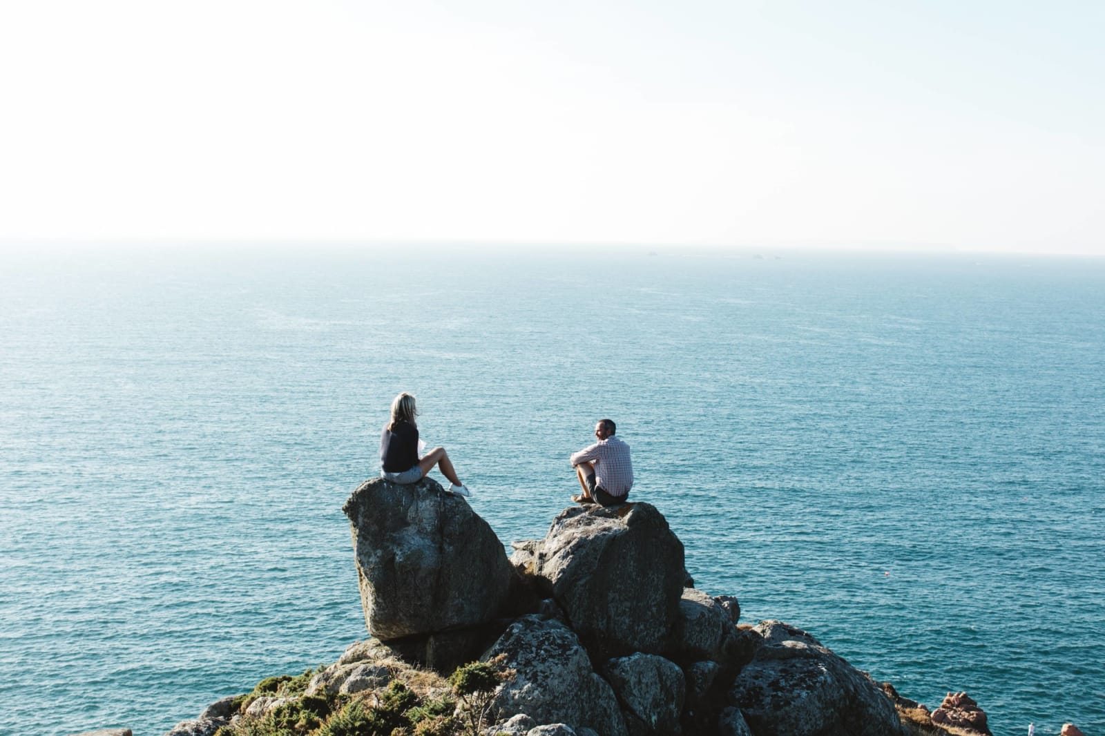
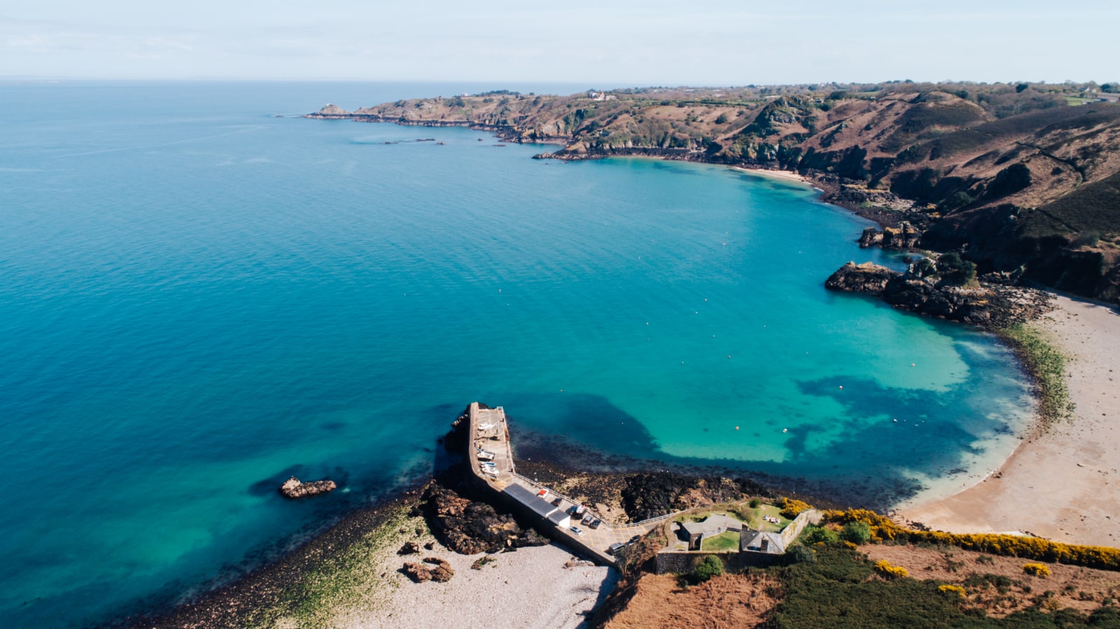
Walking in The Jersey National Park


Cycling.
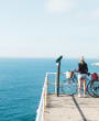
Explore the Aspiring Jersey Geopark on two wheels, with a network of 15 mph ‘Green Lanes’ through the island’s countryside and miles of bicycle-friendly routes, a cycle ride is the perfect way to explore our unique island. Enjoy taking in the sites from the slow lane or challenge yourself with an uphill climb. We may be small, but we pack many diverse, beautiful and challenging cycle routes into our nine miles by five.
You’ll be spoilt for choice for bike hire in Jersey, you’ll find mountain, leisure and road bikes and e-bikes if you’re looking for a little assistance on your cycling trip around the island’s lanes.


Find your flow in nature.
Yoga.
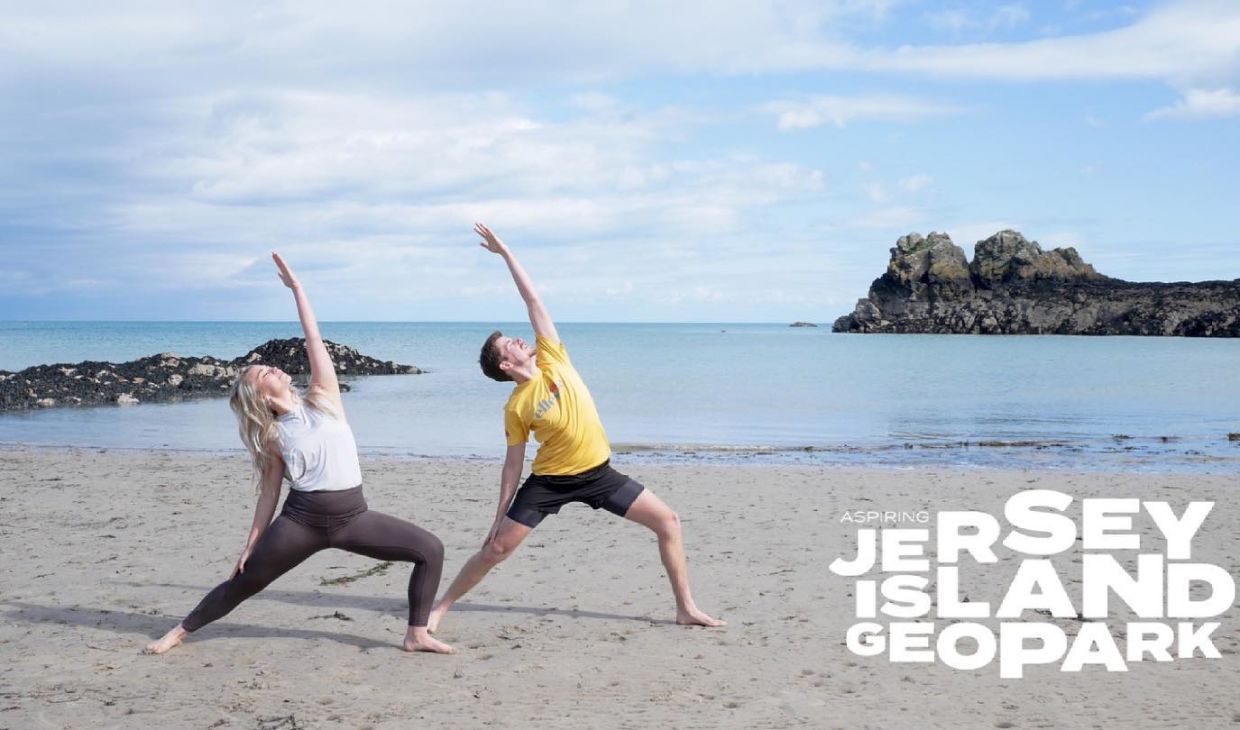
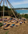
Why not get involved in wellness Wednesday’s and join in on a restorative slow flow yoga, meditation, breathwork and moon ceremony? Held inside the historic mid-19th Century fort on Jersey’s rugged north coast in The Jersey National Park – traverse the winding coastal path, cross the drawbridge and settle in for a blissful evening.
You can also practice stretching and celebrate the natural world with Delia at Bunker Yoga at unique locations that bridge the gap between indoor and out.


Take to the sea.
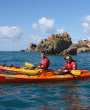
Discover parts of the Aspiring Geopark that lie offshore. Kayaking is the perfect way to discover Jersey’s secluded beaches, bays and coves. Whether it’s watching dolphins playing offshore or falcons hunting the island’s coastal landscapes, relax and take in the seascape scenery at your own pace or on a guided tour with Jersey Adventures or Absolute Adventures.
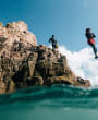
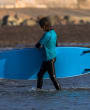
Or, ever wanted to give SUPing a go? Test you’re balance on a paddle board as you glide through clear blue waters. Whether a complete novice, or a pro, we guarantee you’ll have a smile on your face! If diving is more your thing, Bouley Bay Dive Centre is Jersey’s longest established dive centre offering a full range of dive courses.
If you want take things at a more leisurely pace, then jump onboard the Jersey Duchess to enjoy a 2-hour sunset boat tour? Go Sail also offer private charters for an unforgettable and unique experience on the water.
What makes our Aspiring Jersey Geopark so special?
Geopark Ambassadors are Jersey locals who champion our unique landscapes and seascapes through their roles within our community and their passion for island life.
Each Ambassador was asked about what makes this island such a remarkable place…

Meet the ambassadors
Sarah Maguire - Jersey Biodiversity Centre, Education & Outreach Officer.
Any outside space, where I can watch wildlife. “Our main purpose is to collect and computerise biological records from the Channel Islands so that these can be used by amateur and professional naturalists, ecologists and other researchers. We run events and courses to help people connect to Jersey’s wildlife.”

Meet the ambassadors
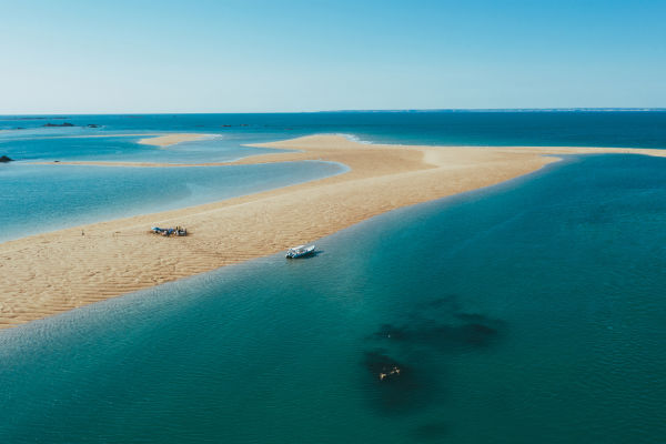
Samantha Blampied phD - Researcher with University of Plymouth Blue Marine Foundation.
Favourite of Jersey’s Marine Life: Tope. “Tope is a species of shark found in our waters. They are on the International Union for Conservation of Nature (IUCN) Red List of Threatened Species as they are being unsustainably fished in other parts of the world.” Tope can be found at Les Minquiers, one of our offshore reefs, which boasts hundreds of granite fangs, wildlife, geology and archaeology.
Meet the ambassadors
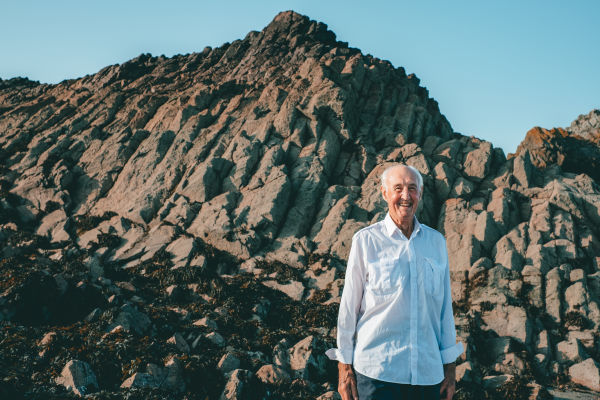
Ralph Nichols - Member of the Geology, Archaeology & Jèrriais sections in the Société Jersiaise.
“My favourite geology is La Crête point which is on the east coast, north side of Anne Port Bay which is an outcrop of columnar joints of lava flow called rhyolite”.
Find a spot to refuel in the Aspiring Jersey Geopark.
Don’t miss out on all the appetising places to eat and drink in the Aspiring Jersey Geopark. You’ll find plates bursting with local Jersey produce, from velvety Jersey Dairy to fresh oysters washed clean by the biggest tidal range in Europe. Jersey is packed with amazing places to eat to add an authentic local flavour to your stay.

Le Braye
A family owned beachside bistro offering simple, fresh and delicious food and drink. The food pays homage to British seaside classics whilst Mediterranean influences nod to the more southern geography. The food is always fresh, locally sourced wherever possible, and consistently unfussy and delicious.
Green Island Restaurant & Beach Hut
A popular beachside eatery for locals & visitors in the know, specialising in fresh local seafood. A Mediterranean influence is evident through the décor, the ambiance & the style of cooking.

Portelet Bay Café
A family run café, located right on the beach at Portelet Bay. The café specialises in authentic wood fired pizza as well as seasonal fresh fish during high season and salads always using locally sourced produce wherever possible.
Why not stay a while?
Jersey offers a huge range of place to stay – from budget friendly to pure luxury, coastal to countryside and self-catering, this is an island that has it all. Wherever you decide to rest your head, one thing’s for sure – our island is a place where you’ll feel truly on holiday.
L’Etacquerel Fort
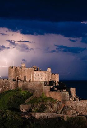
A rustic retreat on Jersey's north coast - traverse the winding coastal path, lower the drawbridge and enter your own fort on the stunning, rugged north coast of Jersey. Built in the mid-19th Century on a cliff side overlooking Bouley Bay, L’Etacquerel Fort is a great base for exploring Jersey’s rugged north coast or a camping weekend.
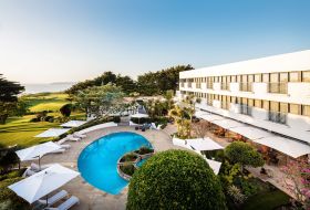
The Atlantic Hotel
One of Jersey's finest luxury hotels combining breathtaking ocean views with the award-winning Ocean Restaurant. The Atlantic Hotel is set within ten acres of beautiful and extensive private grounds, situated in one of the most stunning locations in the Channel Islands.
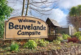
Beuvelande Campsite
A family-run AA5 Pennant Campsite based in St. Martin. As a well-established campground, our wonderful family team work incredibly hard to provide a friendly welcome and fantastic camping facilities. Beuvelande is a ten acre, level grass site offering Pitches and Glamping for all the family.
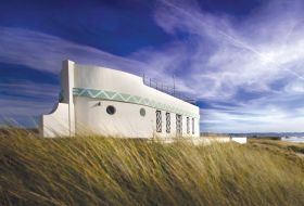
Barge Aground
The iconic Barge Aground is uniquely positioned in the stunning St. Ouen’s Bay with direct access to the beach. Built in the 1930s, this is the last of the seaside follies and chalets which once lined the bay. The décor has a 1930s theme, with walnut wooden floors and some original furniture.